We began our journey from Kandaghat to Kaza, yesterday, 20th June 2017. You have to access: ‘Himachal The Beautiful State Part VI – Kandaghat To Kaza – First Part Of The Journey Up To Rampur‘ to see the complete route plan and some do’s and don’ts.
Now if you have seen the map and the route planning, you would notice that Sangla and Chirkut are not there on the route to Kaza. I recommend this one day detour for seeing the Sangla Valley described by an American tourist as one of the four most beautiful valleys in the world. Also, if you are bold enough to proceed further to Chirkut village, you would have come to the last Indian village next to China.
Naturally, you are interested. Very good, here we go.
Yesterday, I also told you that this would be the most treacherous part of the journey; not only that the roads are bad (Remember the good old saying: ‘the most difficult roads lead to the most beautiful destinations’) but one small mistake and this would be the last journey for us.
If you zoom on the map, you would notice that the NH5 from Rampur goes through Jhakri, Ganvi, Sungra, Wangtu and Tapri before taking a diversion to the right for Sangla and Chirkut.
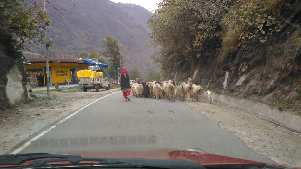
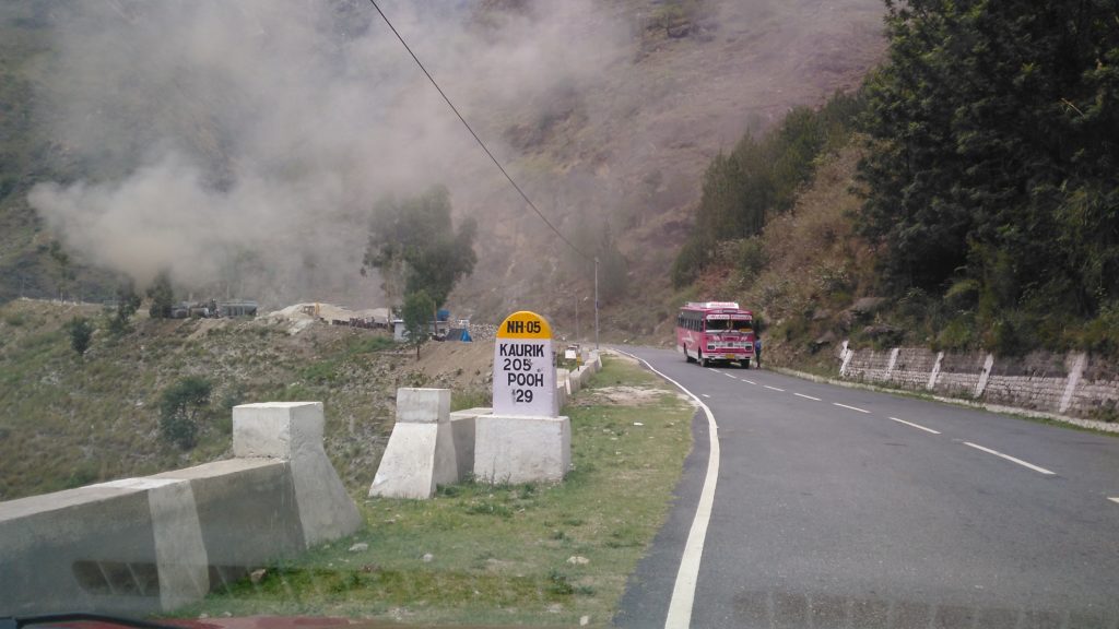
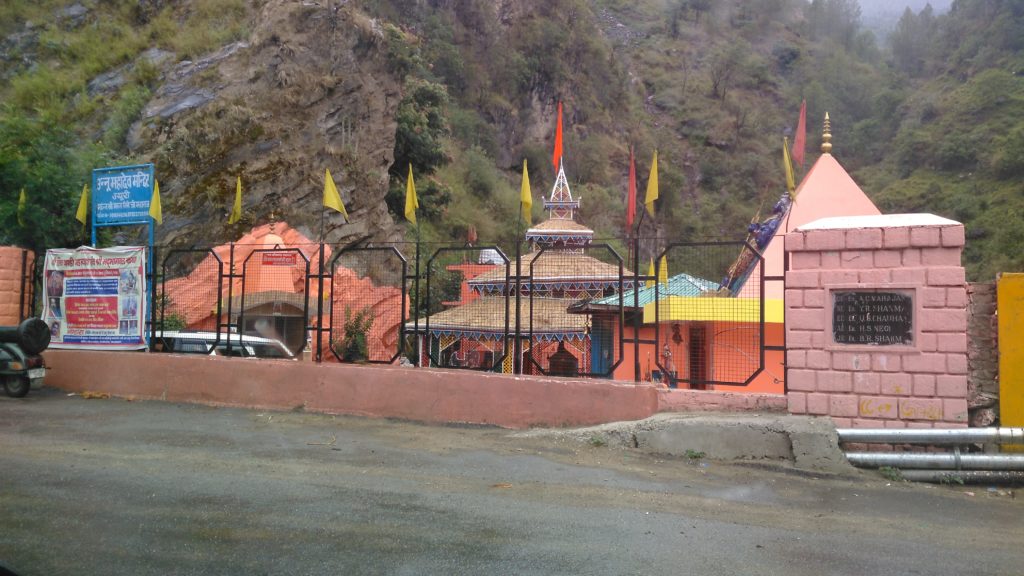
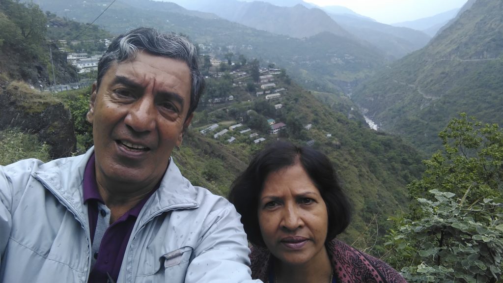
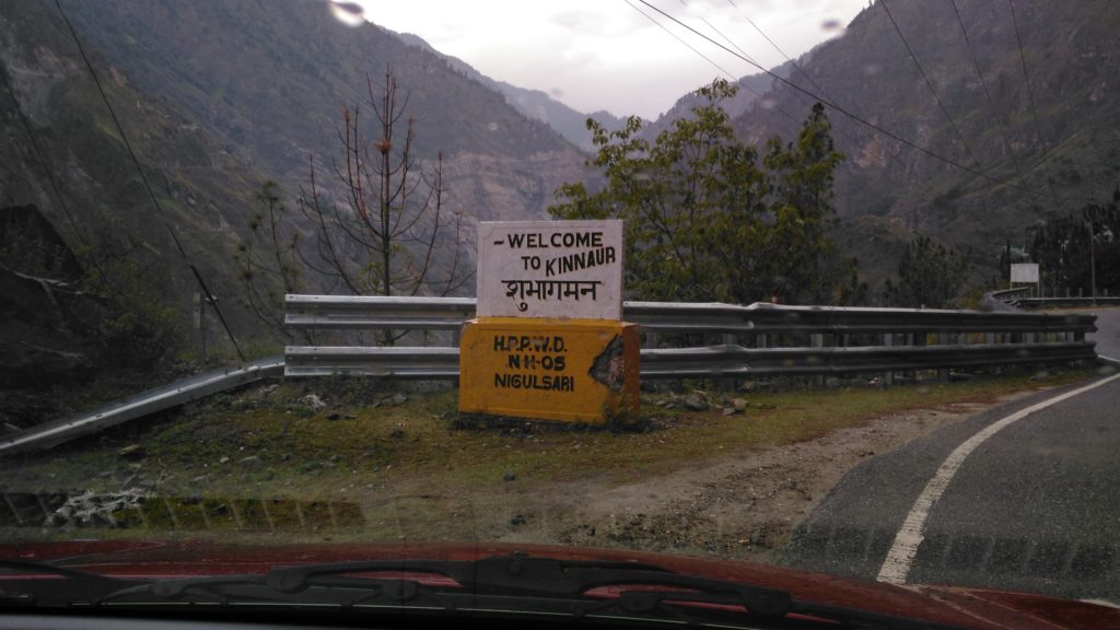
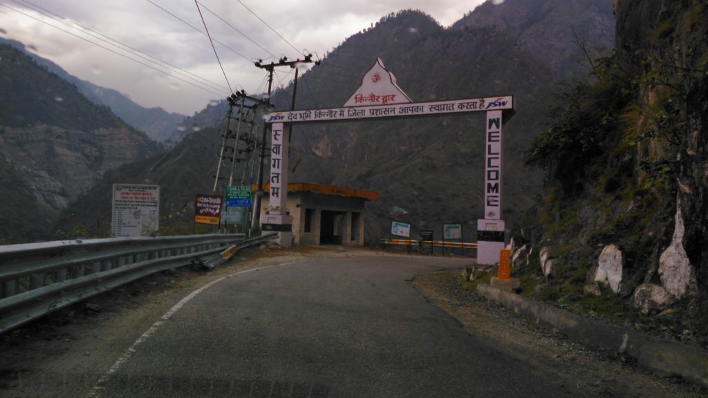
In the above pics, you would have noticed two things: One, that at a place called Nigulsari we entered the district of Kinnaur that will be with us all the way to Kaza. Nigulsari is just 40 Kms from Rampur Bushahr. Second, that the NH5 although retains the same thickness on the map, gradually becomes smaller and smaller in width. Henceforth, as the scenery around becomes more and more beautiful, the roads become worse:
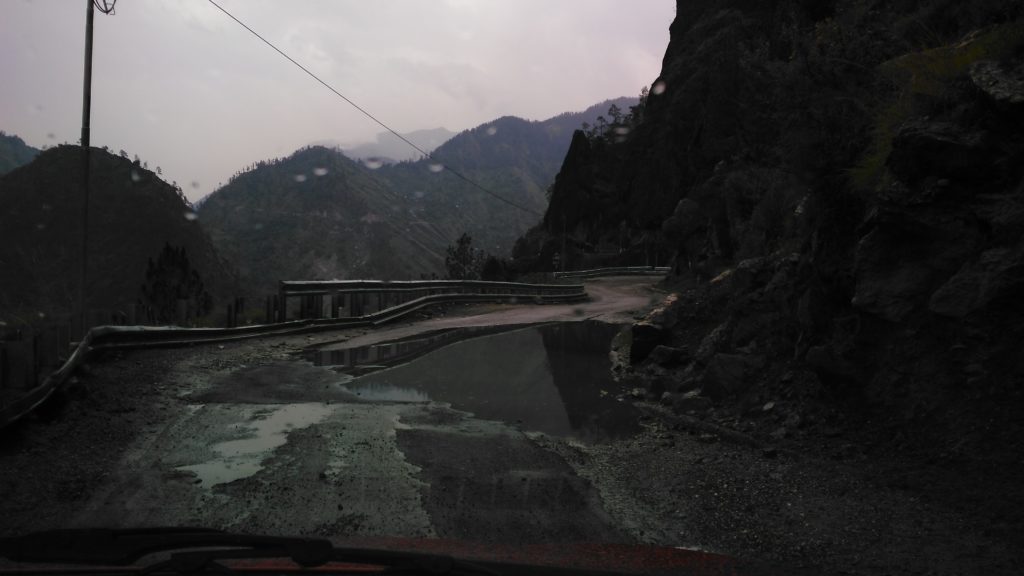
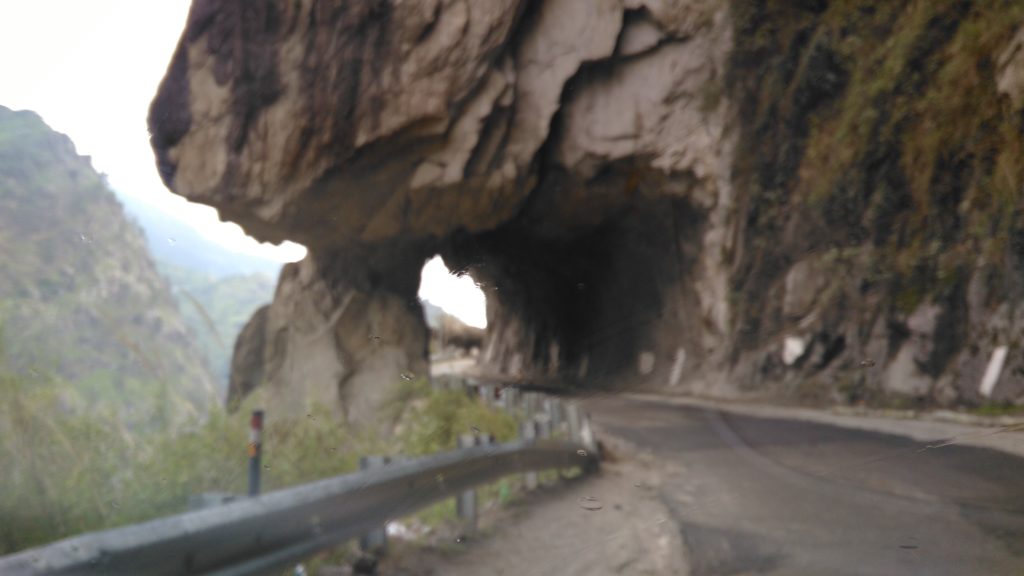
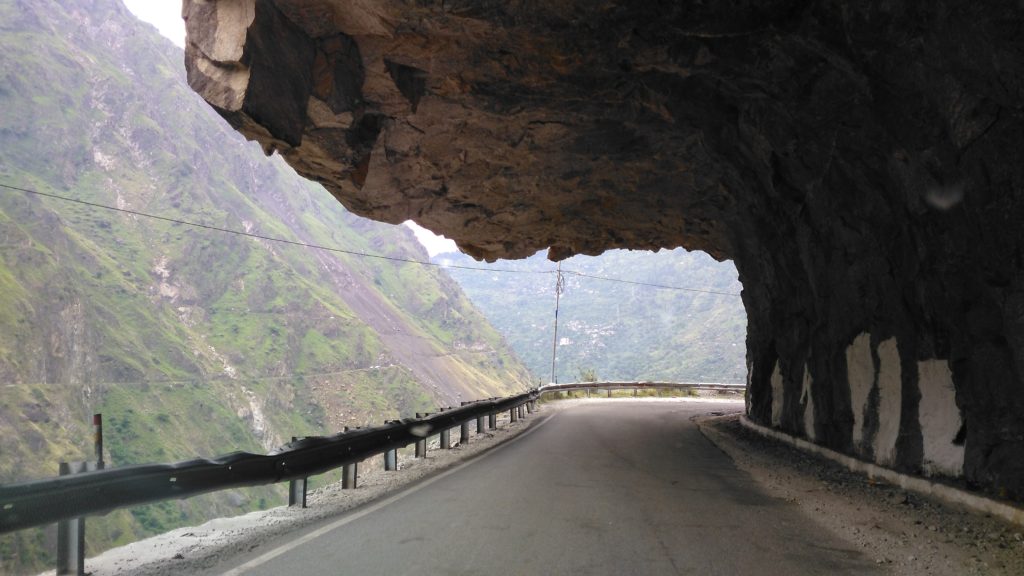
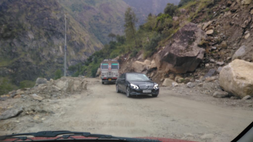
Indeed, this is one thing that one has to remember all the way to Kaza: even when the roads are alright, these can suddenly become poor. One has to be on one’s guard all the while. The plus point is that there is not much of traffic and whatever is there is well-behaved.
At Karcham, then, we took the detour towards Sangla, the first milestone that we came across was the Karcham-Wangtoo BASPA II Project. In this area, one comes across a number of such projects and number of tunnels.
What one doesn’t come across, for miles altogether are any eateries and tea stalls. Here we had tea with Bengali labourers working at the project:
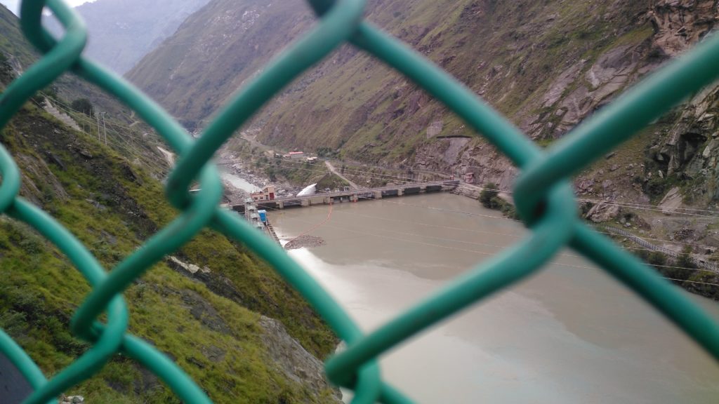
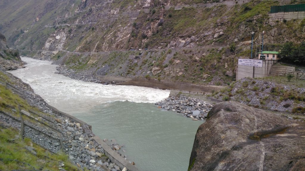
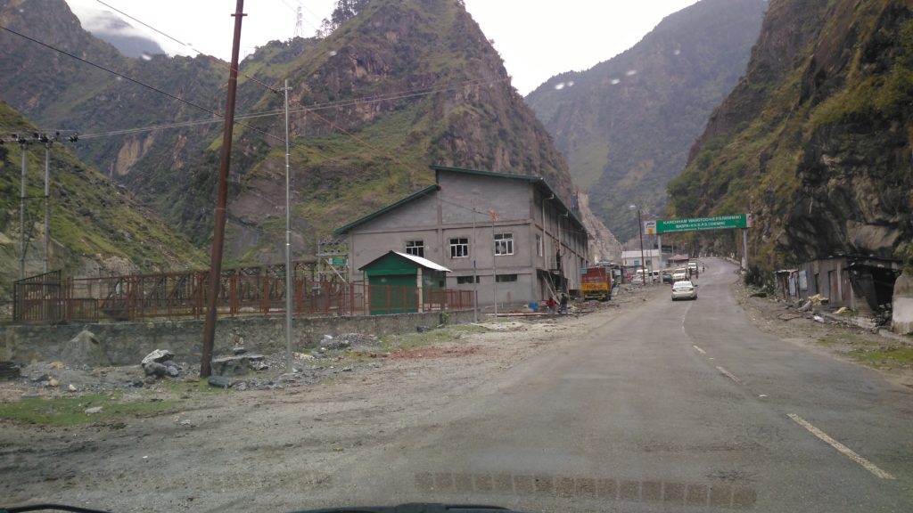
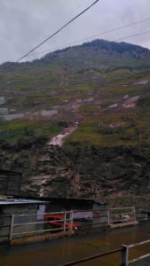
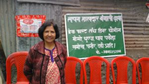
From the Karcham-Wangtoo 300 MW dam, we came up to the main Karcham (1000 MW dam), a beautiful site:
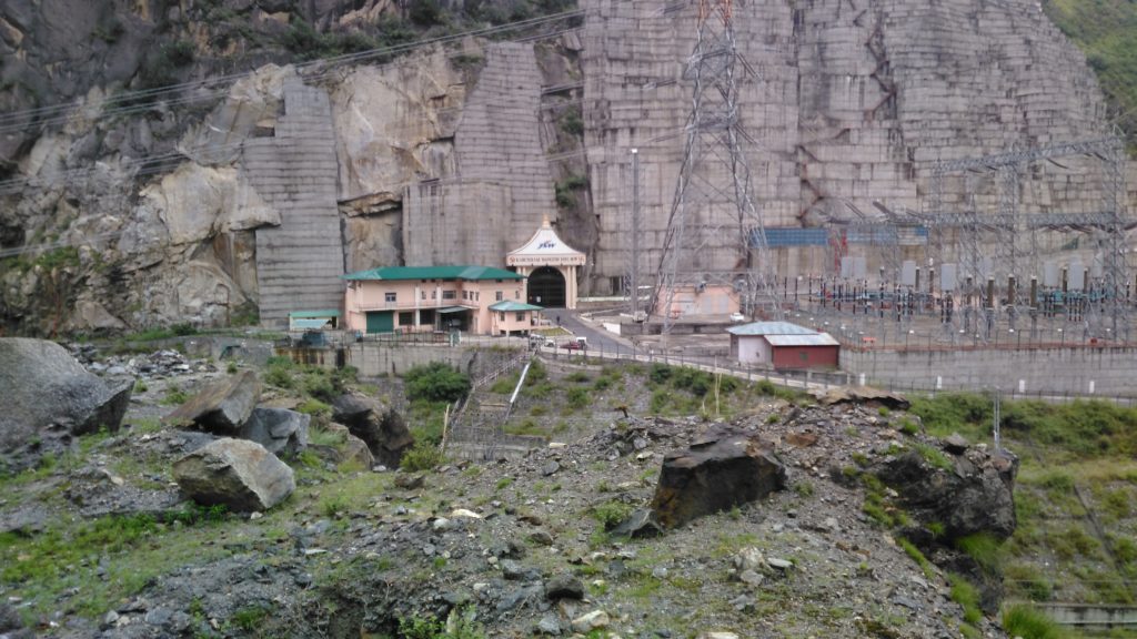
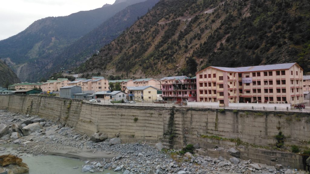
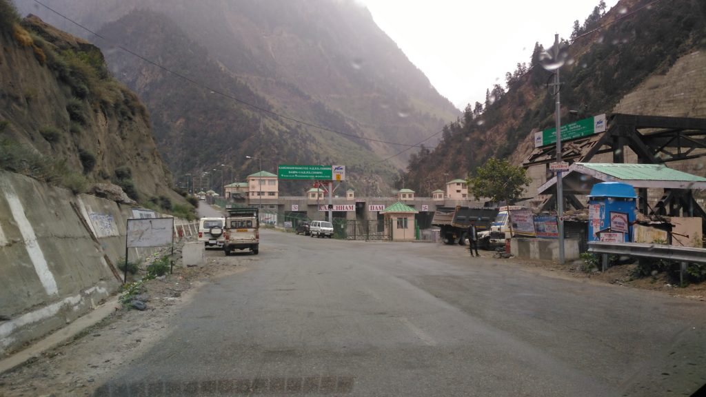
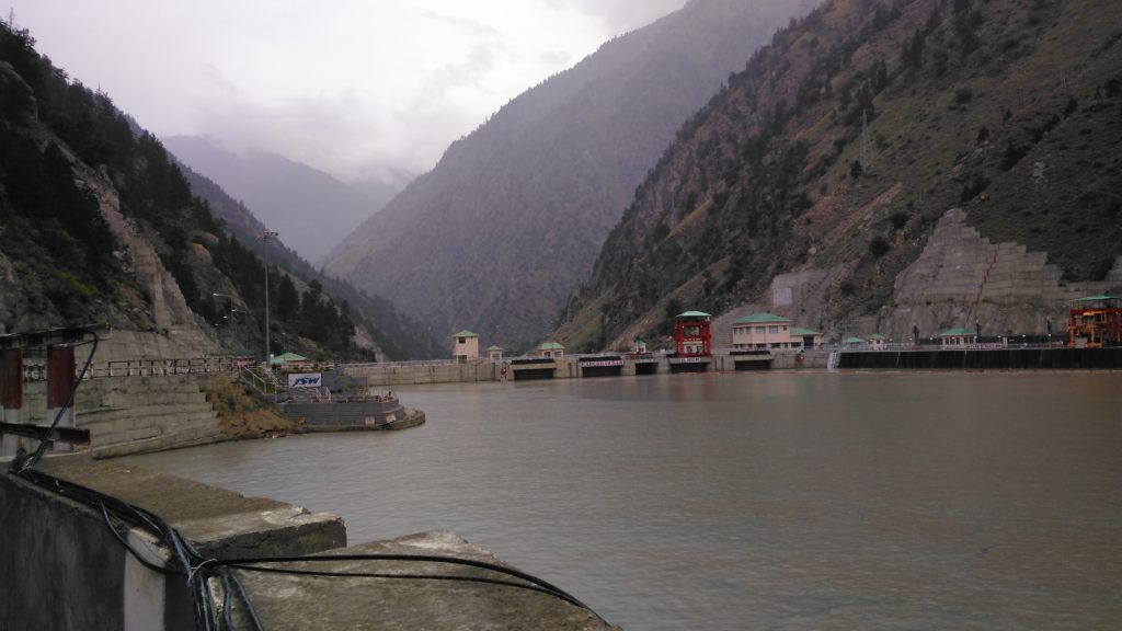
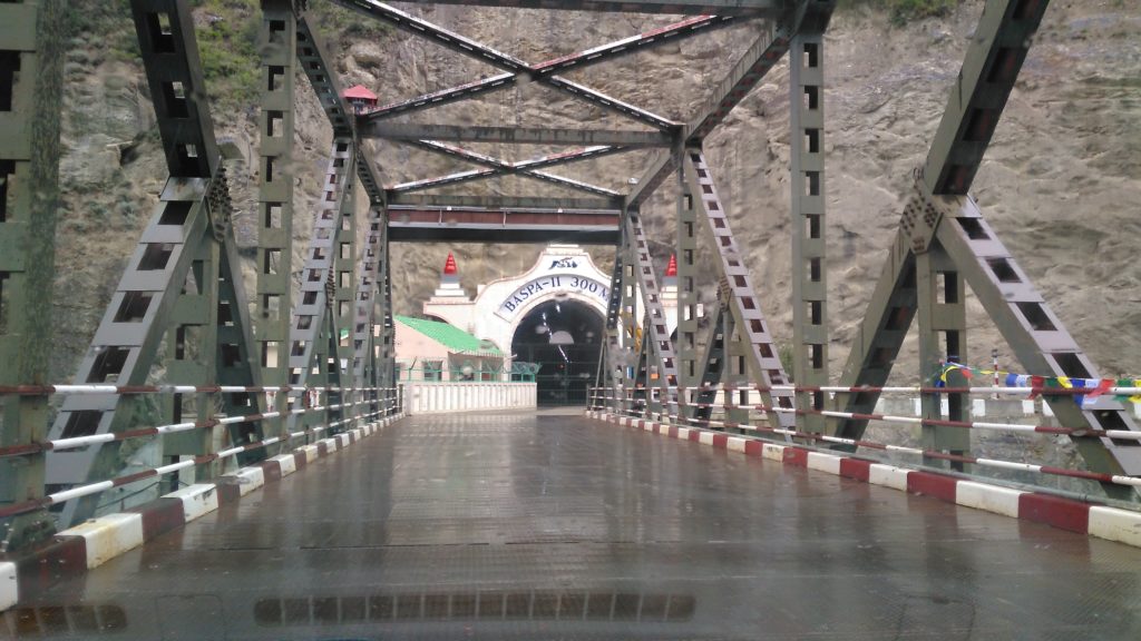
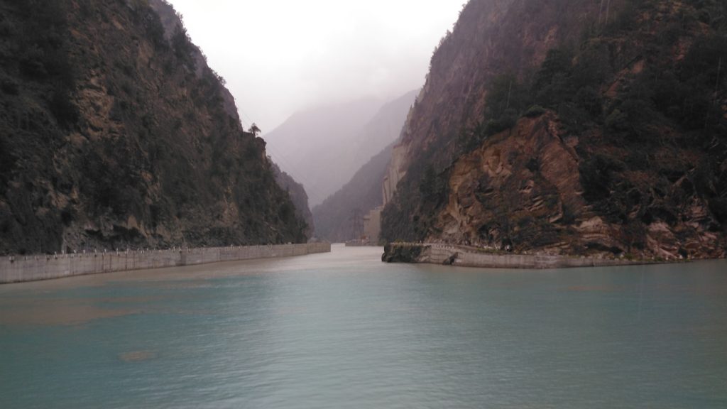
Karcham to Sangla is amongst the world’s most dangerous roads, a distance of about 19.5 Kms. Often, your heart will be there in your mouth and the margin for error is just a few feet that look like inches. It is also a sheer climb since from about 1800 m of Karcham-Wangtoo dam you have to get to about 3000 m plus of Sangla and finally to 3450 m of Chitkul village (another 19 Kms), the last Indian village before the Chinese border.
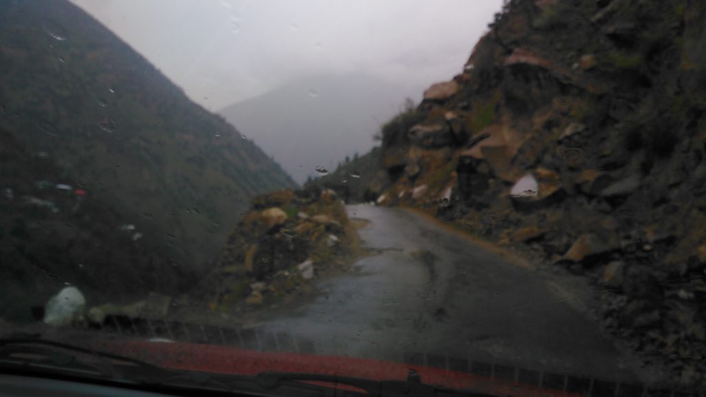
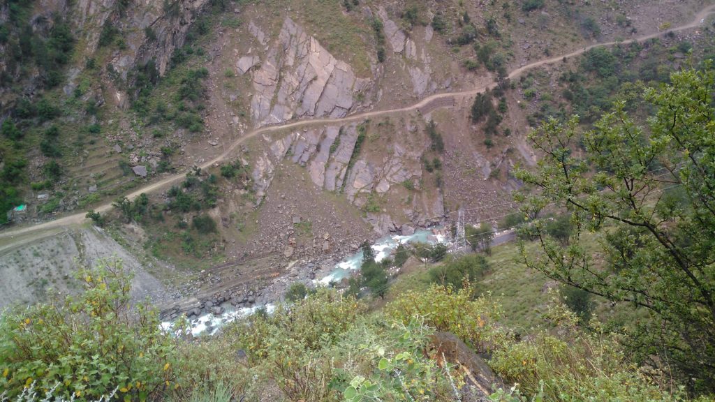
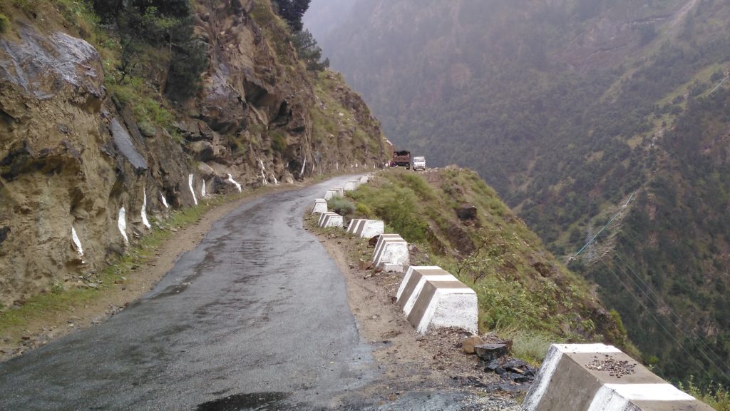
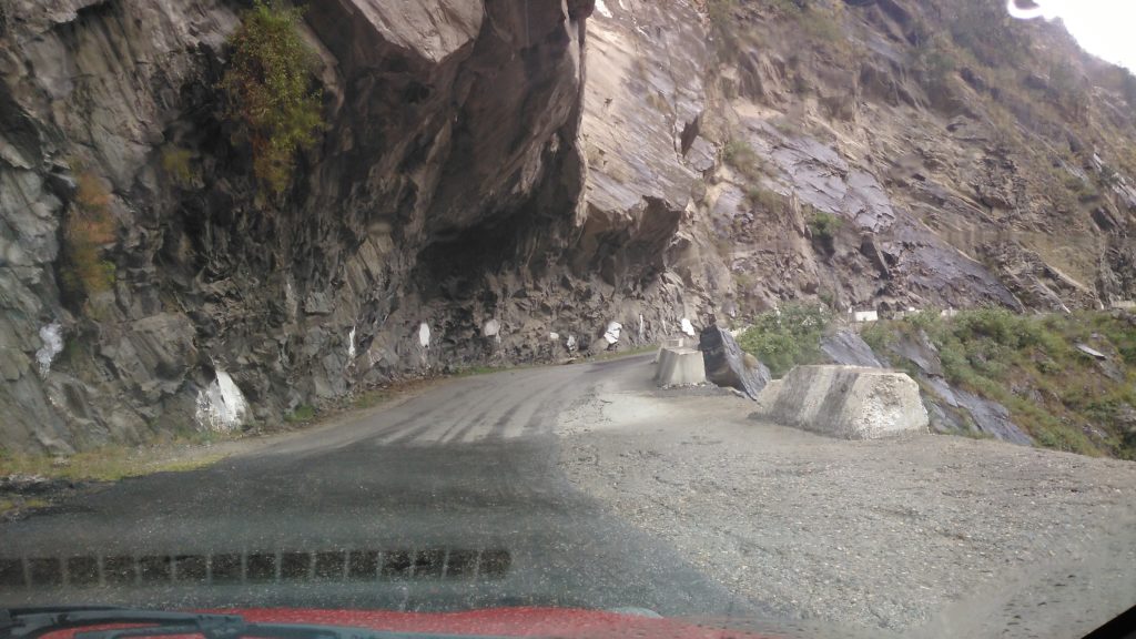
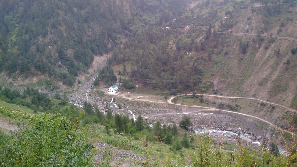
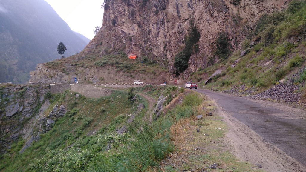
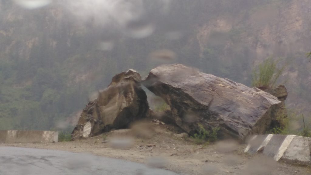
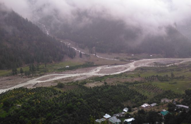
In our case, as you can make out the road visibility was reduced due to drizzle. Fortunately, the same God who sends the drizzle, gives you strength and at the end of it, you are met with wonderful sights, some of the best in the world:
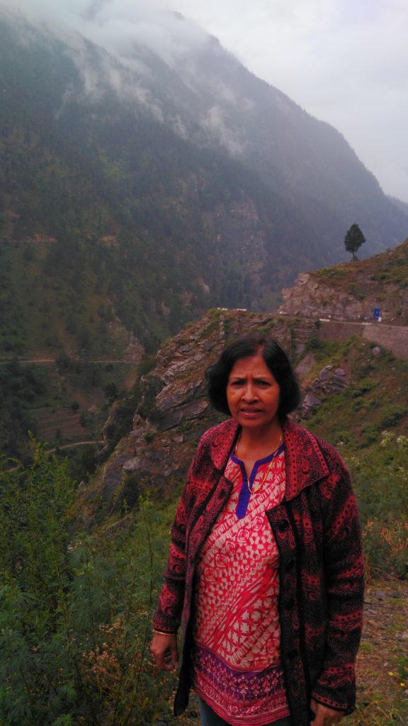
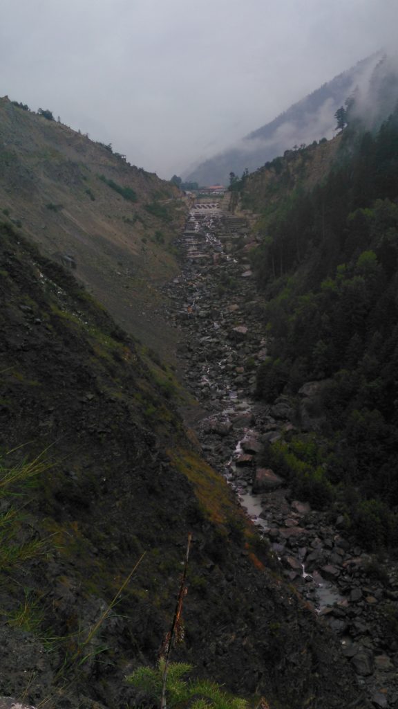
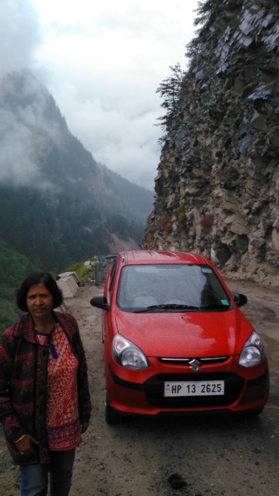
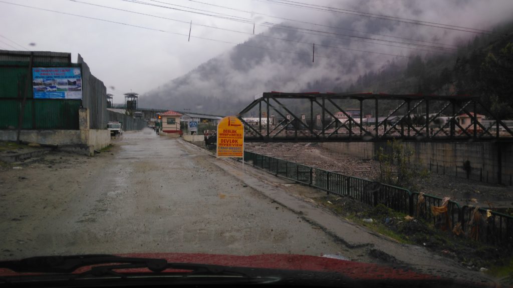
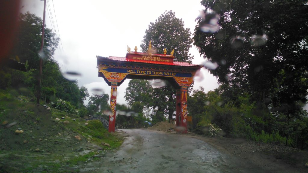
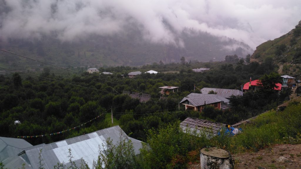
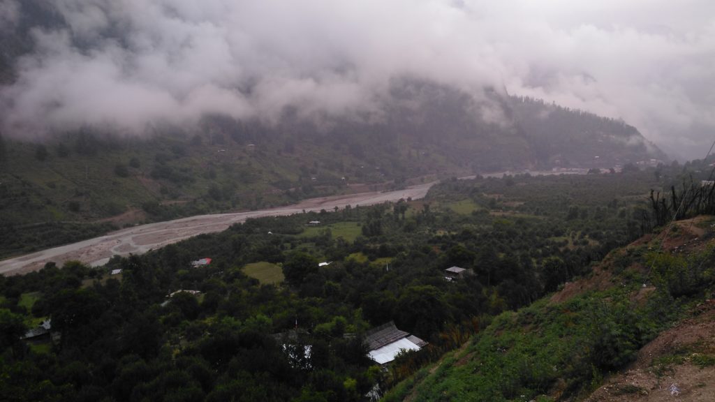
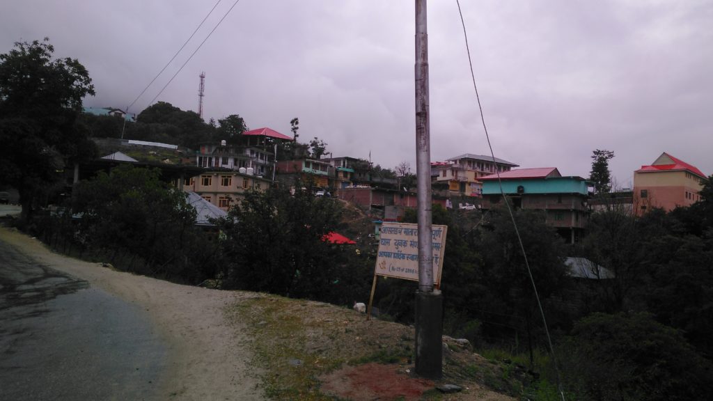
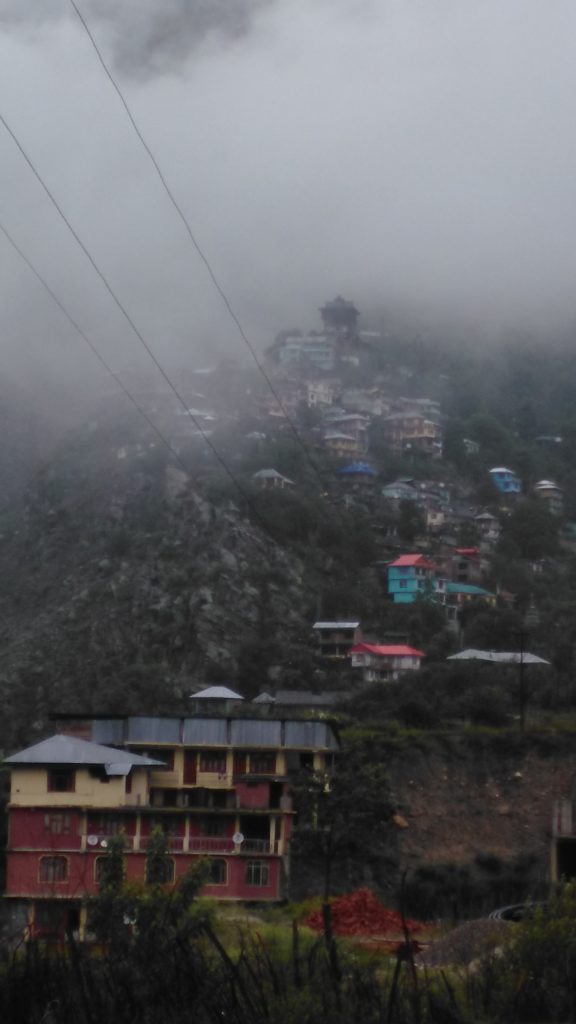
I have put down the experience of watching the beautiful Sangla Valley in the form of this video, which I am sure you would immensely enjoy:
By the way, ladies and gentlemen, I was the one who was driving and I had taken all the pics. My wife had preferred to keep her eyes closed at some of the dangerous spots. I took a few videos but not whilst driving. Just to give you a feel of the drive, here is one from You Tube:
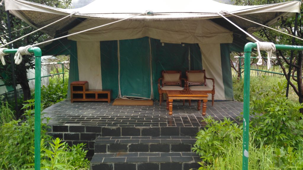
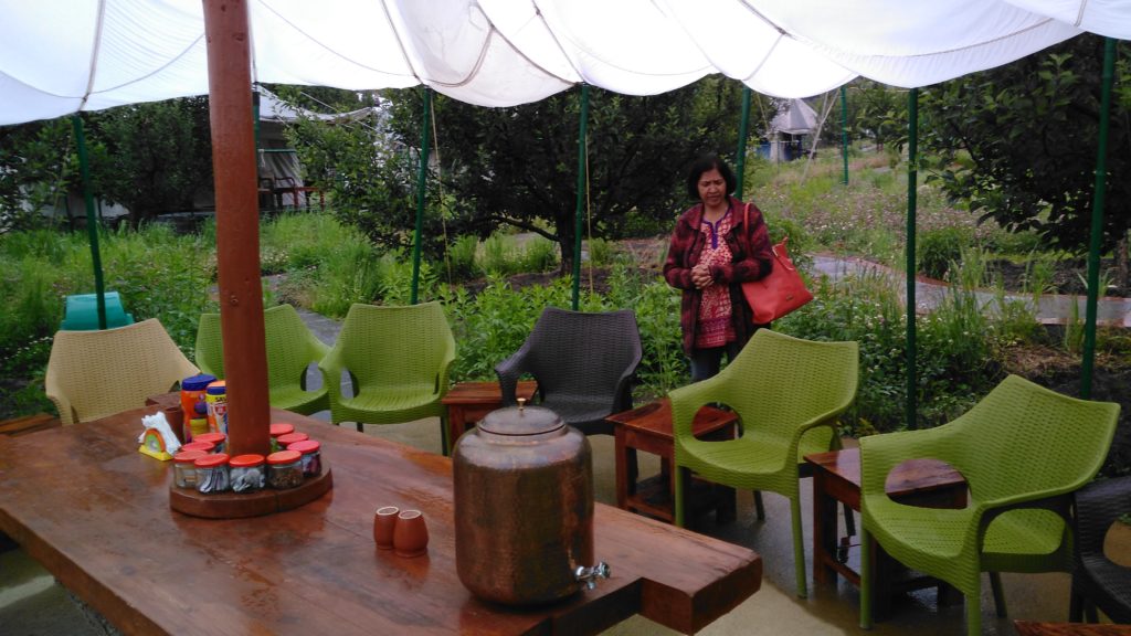
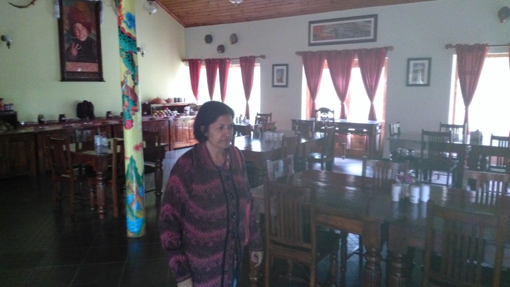
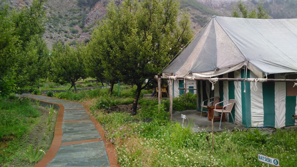
Our first destination was Banhara Camps being run by a retired army officer Captain Ajay Sood. Not just amongst picturesque surroundings, Ajay and his team has done well to provide facilities for both types of people: those seeking adventure and those who want luxury everywhere they go. We had lunch at his restaurant:
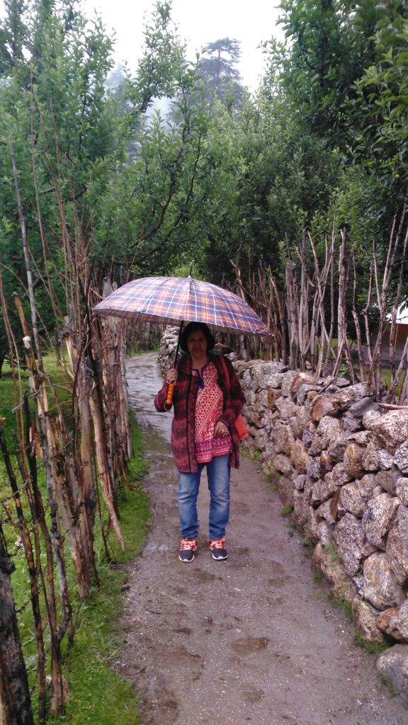
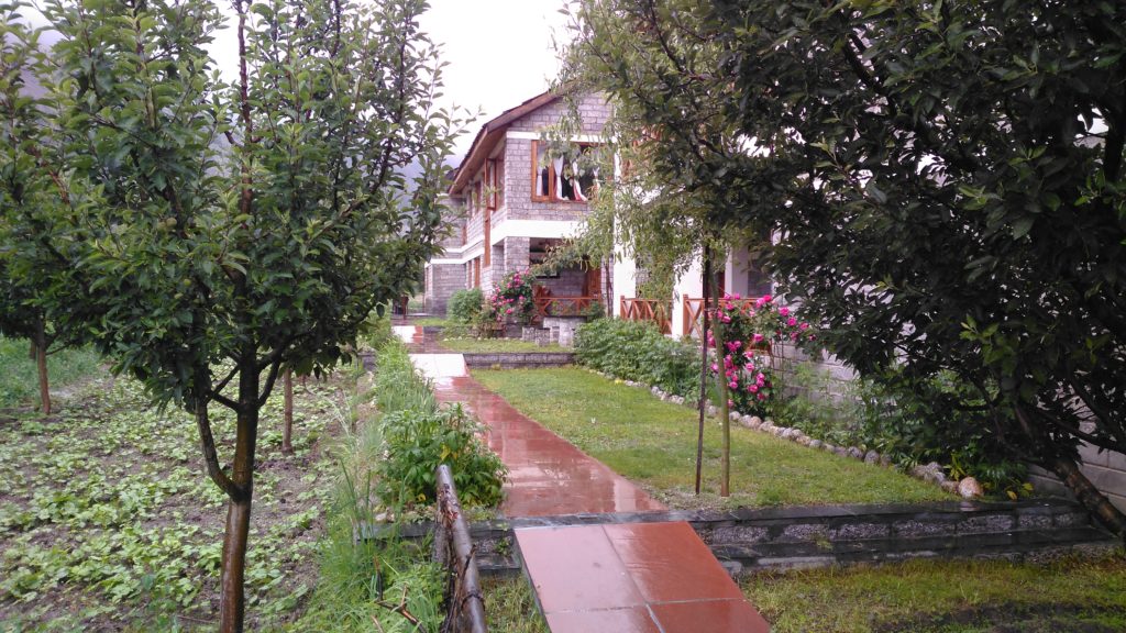
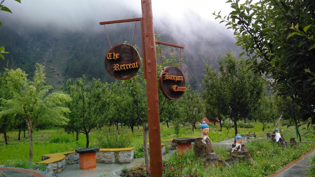
The road from Sangla to Chirkut is really very bad; it has gravel, rivulets on the road, everything. We did it in a Maruti Alto. However, at places you would actually require a 4 X 4 gear. Here are some of the pics. Once again, as the road becomes worse, you are greeted with amazing sights. The river Sutlej, at this place is totally white because of its velocity and going over rocks:
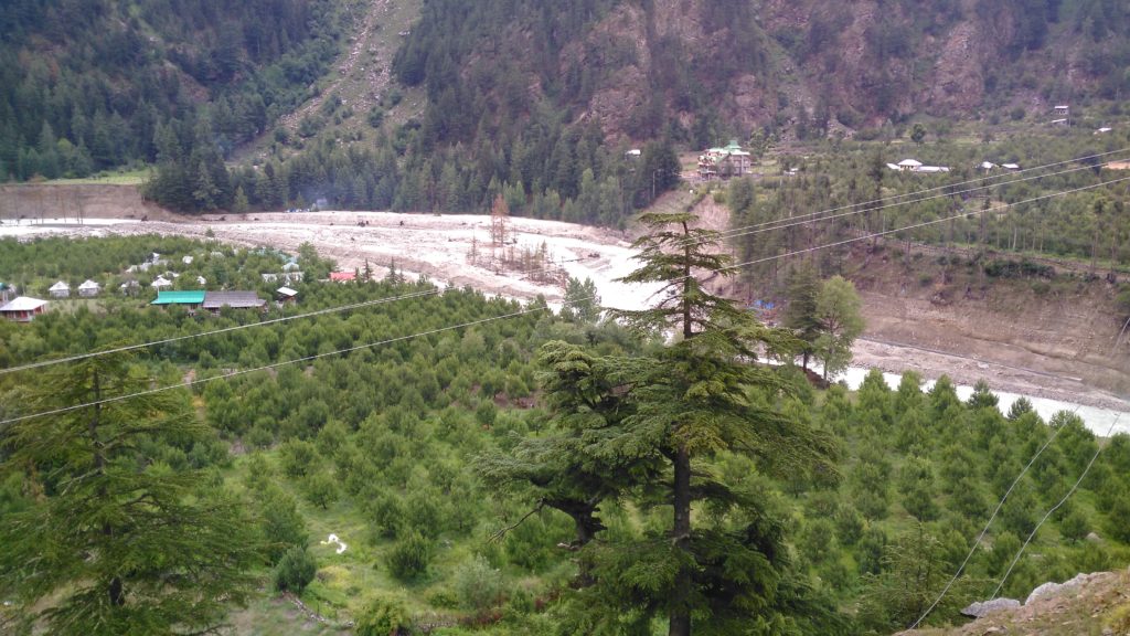
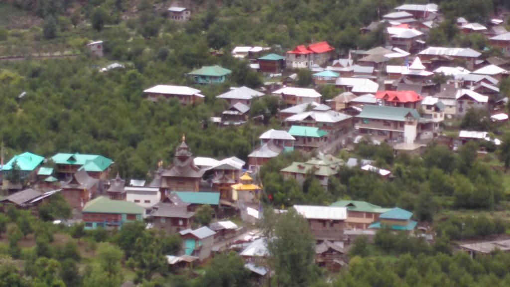
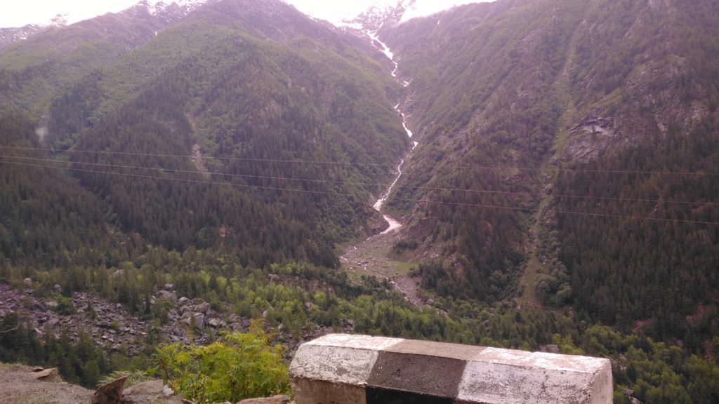
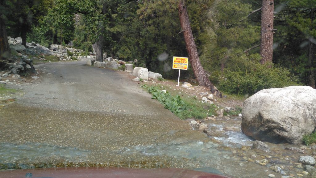
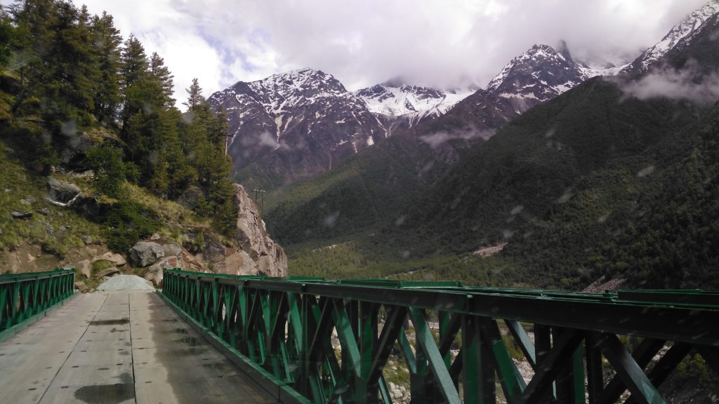
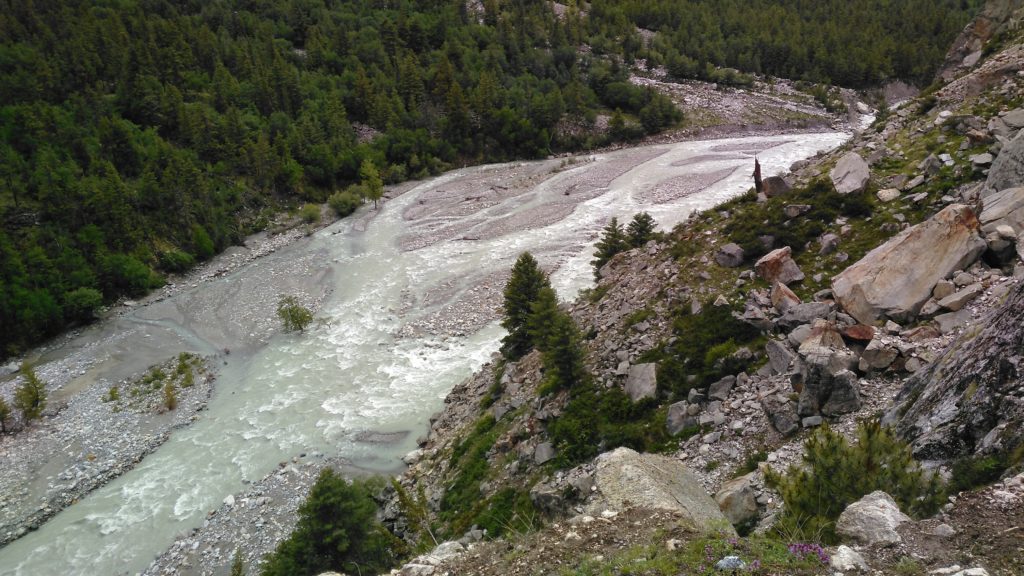
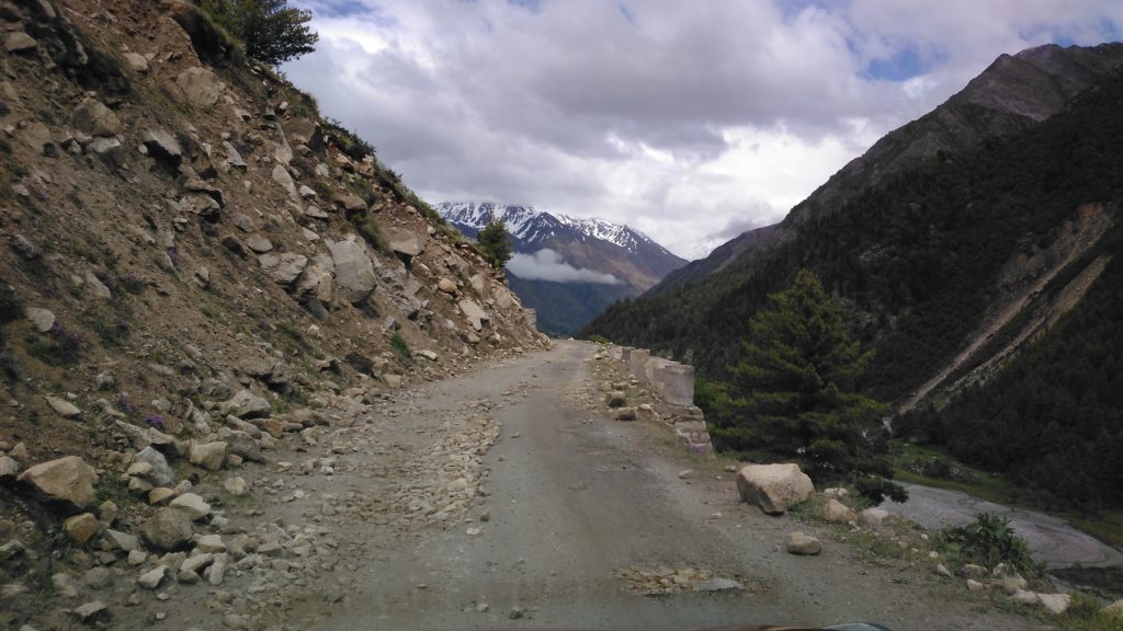
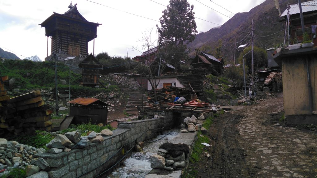
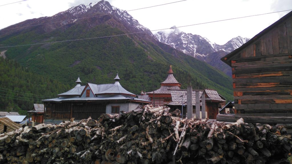
And finally, we reached Chitkul, the last Indian inhabited village near the Indo-China border. Even in the month of June, it was chilly and windy there.
Here is a video of seeing Chitkul for the first time:
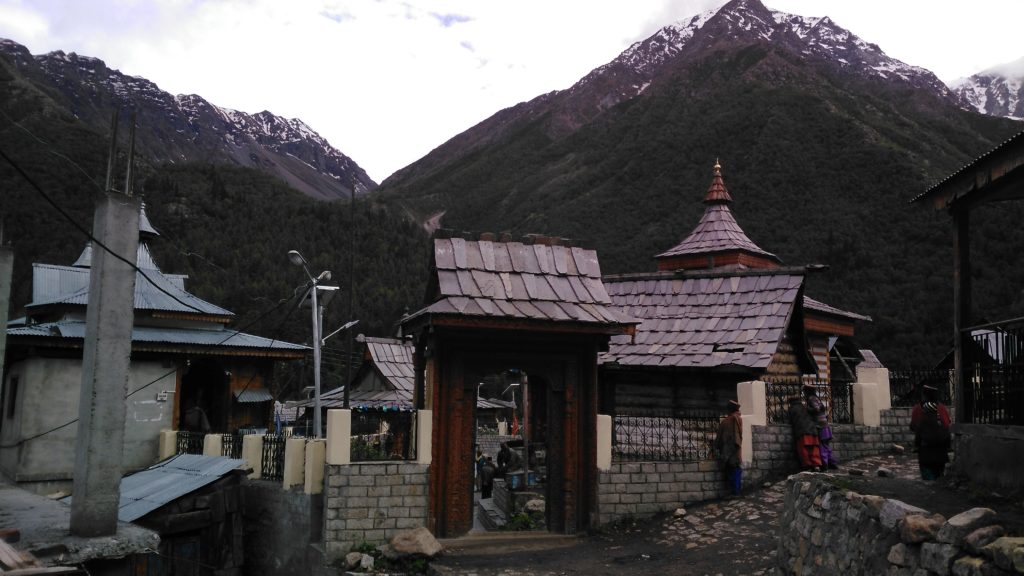
The place has narrow cobbled streets, slate roof and tin roof houses, and a few Buddhist temples including the famous Kagyupa temple. There is only one Hindu temple there and the deity is supposed to be a sister of the deity at Gangotri. Look at our luck: a procession of the deity is held there annually and when we reached there the procession started:
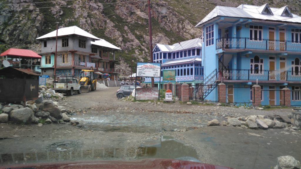
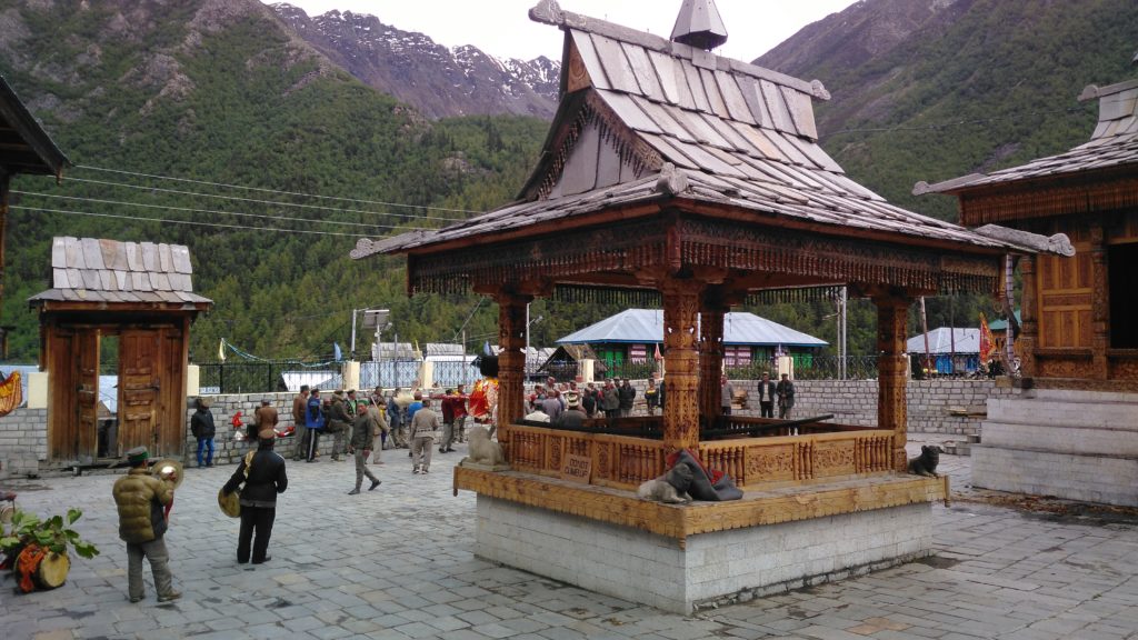
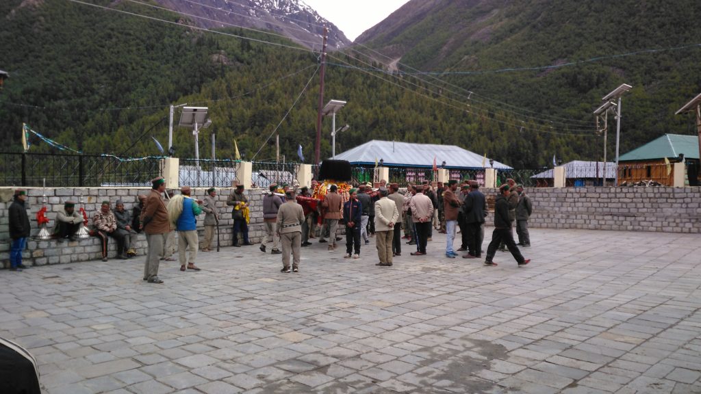
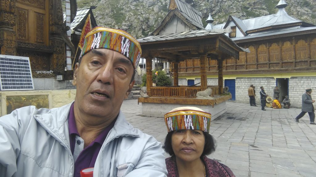
Here is a video of Mata Ka Procession that we were lucky enough to see:
It was a packed day. Fortunately, except for a slight drizzle, the weather gods were kind to us and we could see everything that we wanted to.
The return trip to Karcham was as scary, if not more, as the trip up to Chitkul. We stayed at an army camp at Powari, a little short of Kalpa. As far as civilians are concerned, there are adequate hotels in Kalpa and Reckong Peo.
By the way, on the way back I managed to take pictures of the most dangerous spots on the way of whose You Tube video I put up earlier. Here these are:
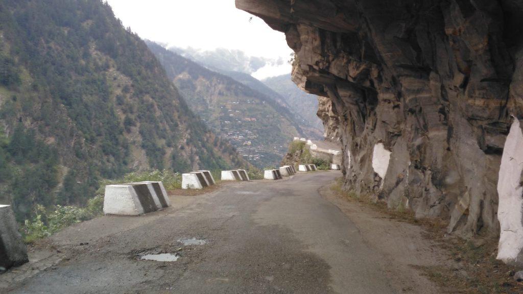
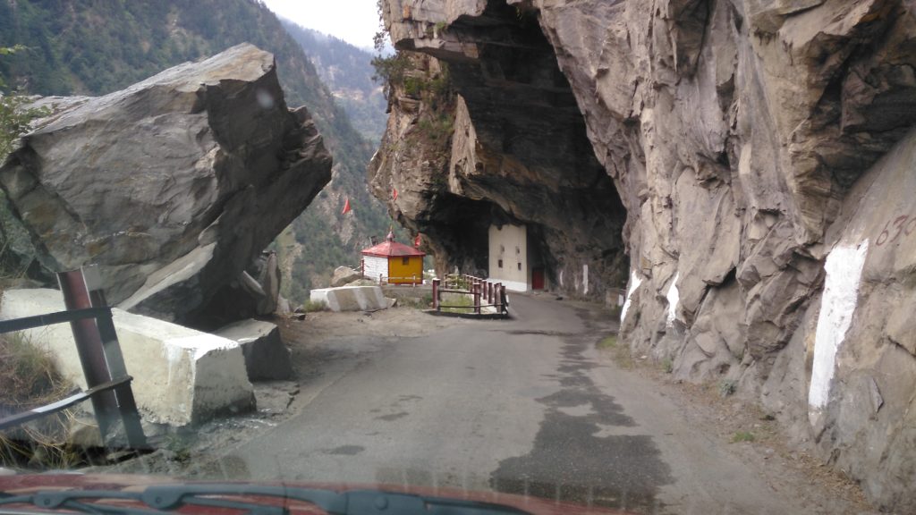
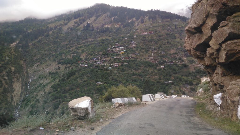
I can assure you, these afford you a sheer fall of 1000 metres or so.
Thank you for staying with me all throughout this really well-packed day. Tomorrow, we shall take it easy when I take you with us to Kalpa and Raeckong Peo, places with such breathtaking views that you would ask for videos and I shall give you those.
Good night. Grab some sleep before we have another day of sheer adventure.
Whoever said you have to visit a place to be there?
Brings back memories of our trip to these places. Lovely pics.
Beautiful pictures I can well imagine the thrill you both must be getting traversing such unchartered territory. Kudos to your spirit of adventure
Thank you, Sir. Regards
Thank you, Sumedha. RPS Josen was surprised these have been taken on cellphone camera!
That’s a huge compliment Asokan. Thanks
Most beautiful and most charming pics n detail.
Thank you, Jaswant