Lets begin with a few questions. The first is: Why Kandaghat?
The answer is very simple: it is my home place (Please read: ‘Home Is Where The Heart Is – Kandaghat In Shimla Hills’ and ‘Himachal The Beautiful State Part V – Kandaghat’s Surroundings’). If you are headed towards Kaza from the Manali route, you won’t come across Kandaghat (you can access the route map here: https://goo.gl/maps/8kWwcEtZ5p52):
However, the route from Manali to Kaza is often closed due to snow, whereas the Kandaghat to Kaza route is open during most parts of the year. I had one more reason, which is that I had been from the Manali route up to Rohtang Pass in the year 2016 and hence it was for me not so attractive as going via Rampur, Sangla, Nako and Tabo as given on the Google map above.
The second question is: Why Kaza? Once again, the answer is simple: Kaza, situated at an altitude of about 12000 feet and the route leading up to it are some of the most beautiful places that I have come across; and, I am a retired navy officer who had the privilege of seeing many picturesque places in India and abroad.
The third question is: Why am I writing about it now? Everything about me is simple: the reason is that last year, less than a month and a half of my actually visiting these places, I lost my mother and couldn’t complete my travelogue. Today, happens to be exactly one year after the journey and hence you can take this journey with me as if it is the year 2017.
And the fourth question is: What about the route planning? Well, if you are undertaking this journey with me, you can possibly follow the same planning:
- Day #1 (20th June 2017): Kandaghat to Rampur (157 kms). Night halt at Rampur.
- Day #2 (21st June) Rampur to Sangla, Chirkoot (120 Kms), and then to Kalpa (Kinnaur) (63 Kms). Night halt at Powari and spend one day at Reckong Peo (Day #3, 22nd June)
- Day #4 (23rd June) Powari to Pooh (77 Kms). Night halt at Pooh.
- Day #5 (24th June) Pooh to Kaza via Nako and Tabo (136 Kms). Night halt at Kaza and spend one day at Kaza (Day #6, 25th June).
- Day #6 (26th June) Kaza to Pooh (136 Kms). Night halt at Pooh.
- Day #7 (27th June) Pooh to Powari (77 Kms). Night halt at Powari (Kalpa)
- Day #8 (28th June) Powari to Rampur (87 Kms). Night halt at Rampur and spend one day to visit the Rampur Dam (Day #9. 29th June).
- Day #10 (30th June) Rampur to Kandaghat (157 Kms).
My planning went awry only once in that my car (Maruti Alto) developed defect. I had to spend a day extra at Pooh whilst emergency repairs to the car were attended to. However, I made up for it by not spending an extra day at Rampur on the return trip and made it back to Kandaghat on the 10th day.
Being from the armed forces, I stayed with the Army. However, as I go along I can suggest alternate places to stay.
And now for the last two questions: What kind of a vehicle would you require? And, what about communications? I thought of doing it by a Maruti Alto but I soon discovered that isn’t the right vehicle. You would require a vehicle with high floor clearance since the roads are bad and you have to be careful about your undercarriage accidentally touching the bumpy roads.
As far as communications are concerned, no mobile phones work beyond Pooh except BSNL ones. It may be, therefore, a good idea to have a BSNL phone for the journey. For additional support system, it may be a good idea to travel in a group of two to three vehicles. My wife and I were alone and fortunately nothing went wrong. However, in case we required help, we had no communications.
Alright, with this, ladies and gentlemen, lets begin our journey.
The first part of the journey is just 32 Kms from Kandaghat to Shimla and hence there is nothing much to write about. The state of the road is good. Indeed, the road is good all the way to Rampur.
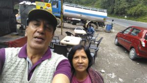 It is a distance of 130 Kms passing through Kufri, Theog, Narkanda, and Kotgarh. We stopped near Kufri to have tea at a road-side stall and had our first view of Yaks. The road is at about the same level all the way from Kufri to Narkanda; Kufri is at about 2630 metres and
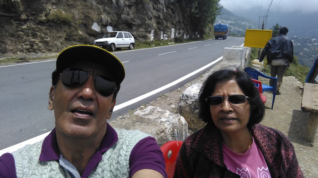
 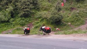 Narkada at 2760 m. Yaks and tea stalls are to be seen up to Theog, a distance of about 15 Kms and tourists enjoy taking pictures with them as also in pahadi dresses. There was light drizzle, slight fog and freshness in the air. If you have seen my planning, you would have noticed adequate time given by me along the way for stopping and taking pictures. My wife and I are in our sixties now and we love our journeys as much as we love to reach destinations.
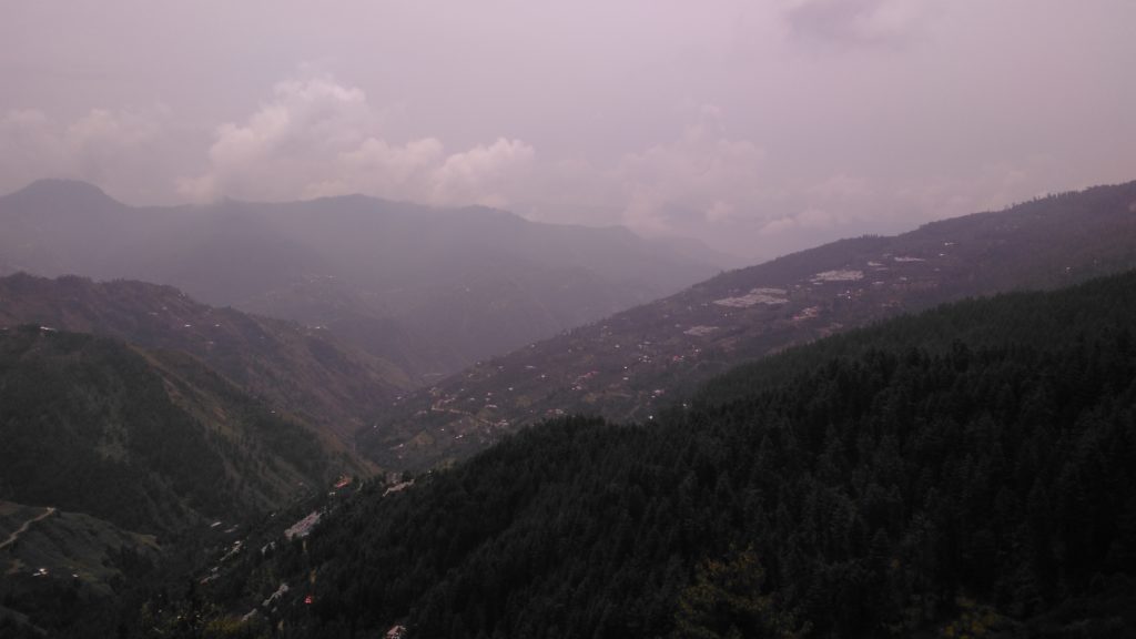
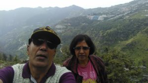
From Theog, you pass through Parhain, Kadog, Matiana, and Shillaru on NH5. The valley is on the right hand side. Because of the slight drizzle, the visibility was excellent and we could see far distances. Large nylon nets are used to protect the fruit from hail and birds. Have a look at some of the pictures along the way:
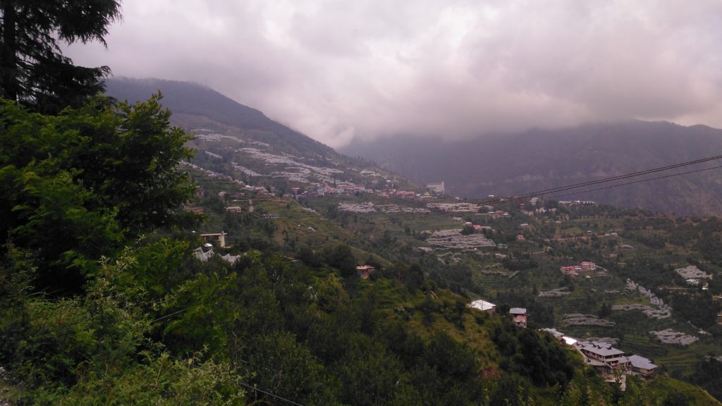
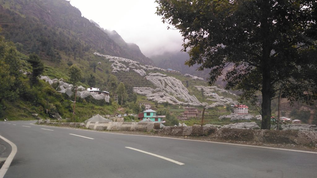
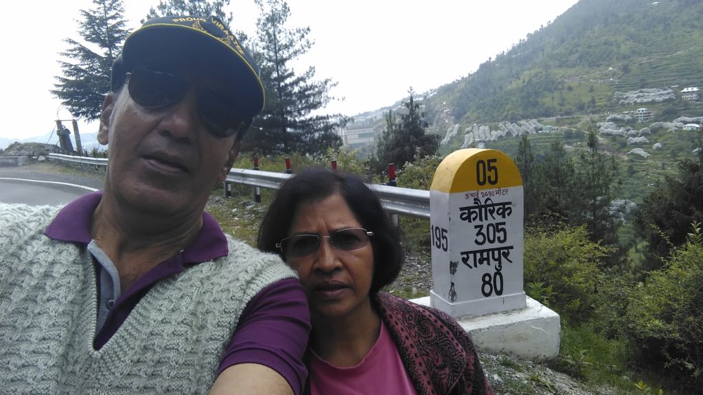
My father was the Joint Director of Horticulture in Himachal and on the day he was killed in a jeep accident just 9 kms from home in Kandaghat, he was being promoted to be Additional Director of Horticulture. He used to visit all the orchard farmers everywhere and would have done this route all the way to Kinnaur and Kaza a number of times. many of the orchadists would make their own wines and ciders. Nearly fifty percent of all fruit cultivation in Himachal is apples and the yield is about 8 Lakh tonnes, making it 85 percent of all fruit yield and second only to Jammu and Kashmir.
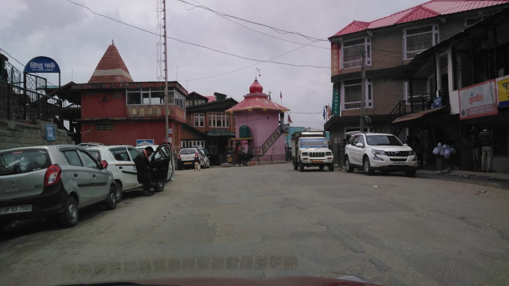
Himachal is also known as Dev Bhoomi (Land of gods) and one can see temples everywhere, even whilst driving. Many a times, these announce approaching town:
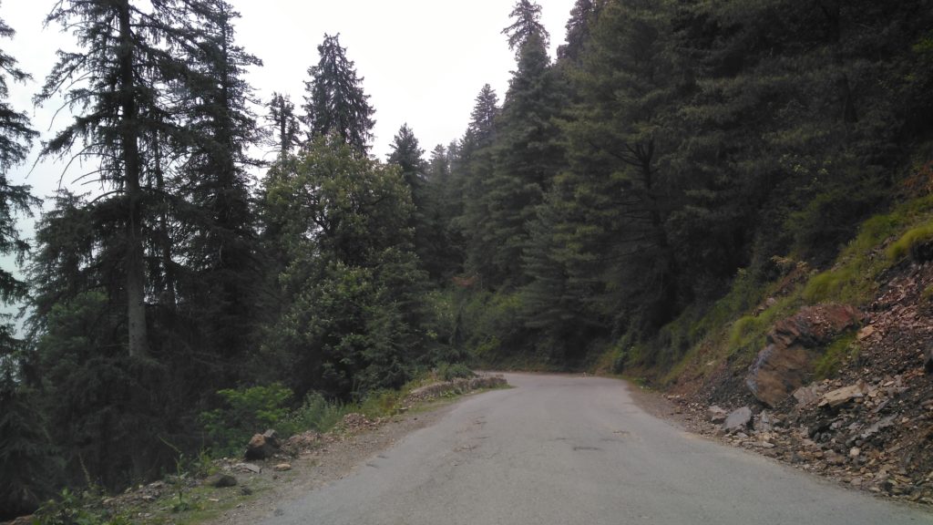
From Narkanda to Rampur Bushehr it is downhill since the latter is only about 1000 m or so. Because of this, at places, the road is slightly bad; during rains the rainwater would take with us mud, gravel and even heavy stones and these would be on the road at places.
There are thick cedar forests with no forests until one starts seeing apple orchards at distant hills:
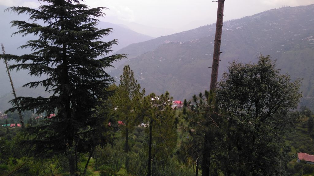
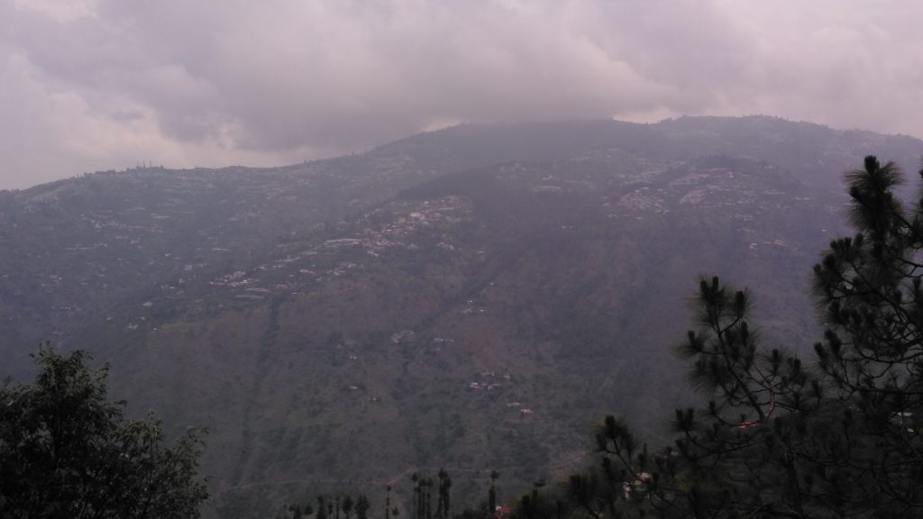
On the way back, we stopped at some of these places to buy fruits and could get both stone fruits (Plums, Apricots and Peaches) but also early variety of apples. Some of the views from there are breathtaking especially as you start seeing the Sutlej river good 30 Kms before reaching Rampur:
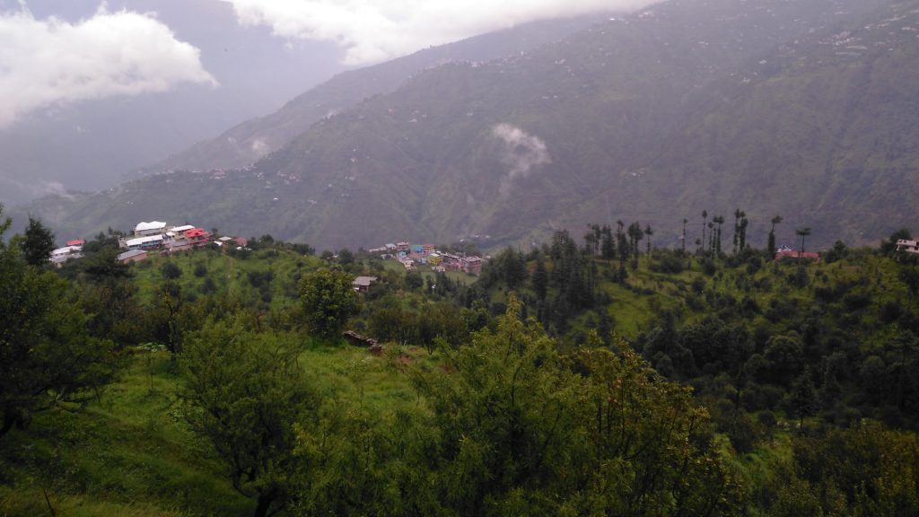
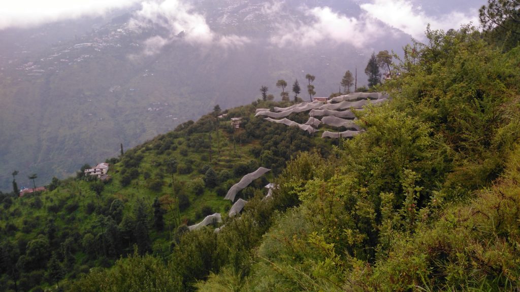
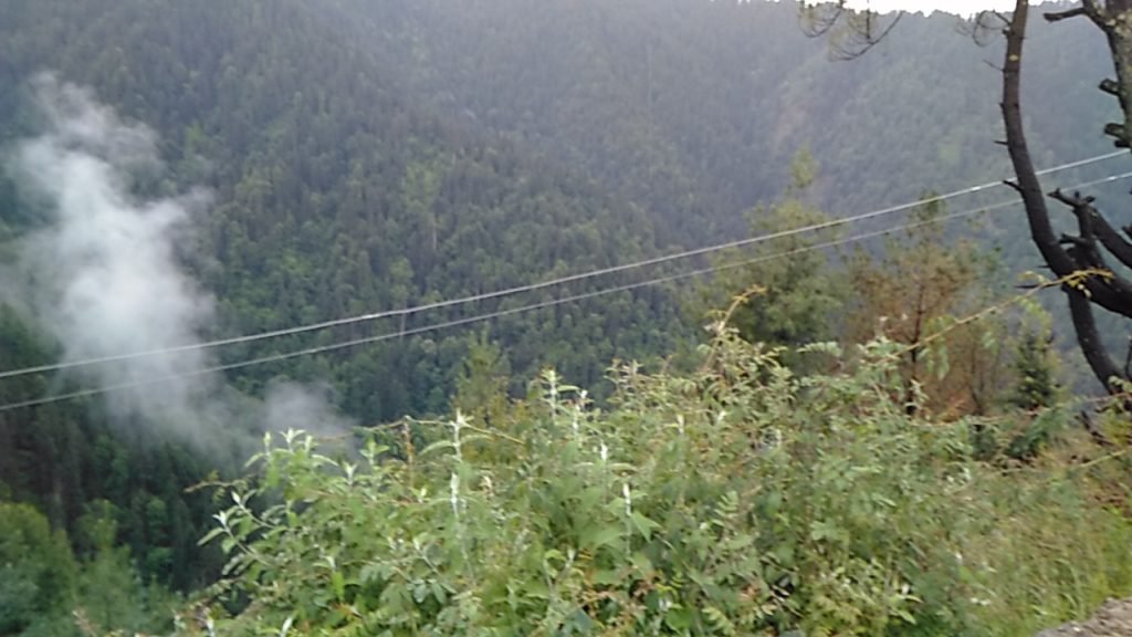
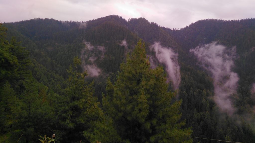
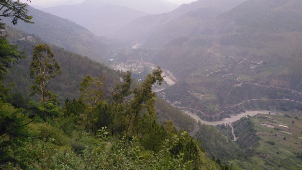
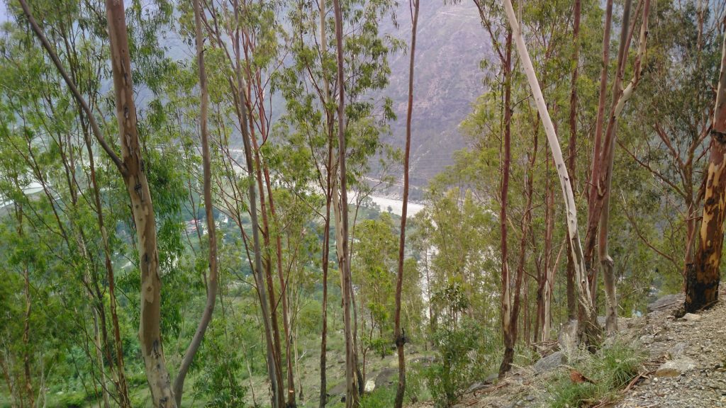
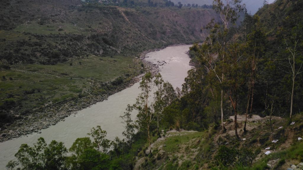
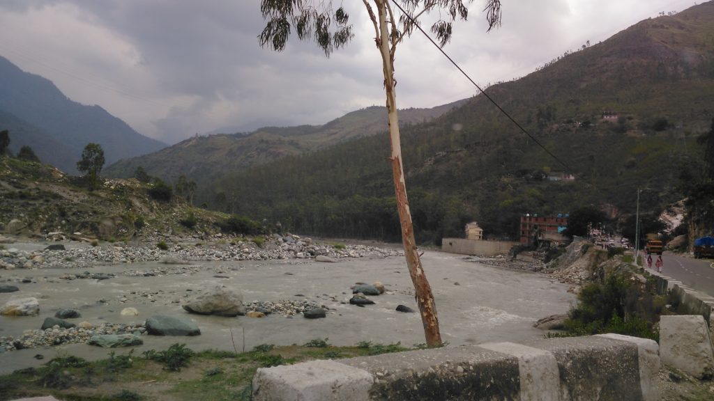
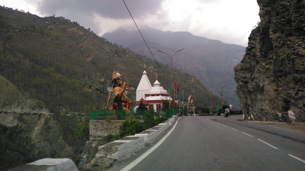
As we came down to the river level, the views of the Sutlej, as given in the pictures above, were very alluring. For those of you who’d like to see this in video as we gradually came down, here it is:
After having left Kandaghat at about 7 AM and stopping everywhere to see and click pics, we still reached Rampur Bushehr by lunch time.
We stopped at a wayside restaurant to have lunch before entering Rampur so that we won’t have parking problems in the city.
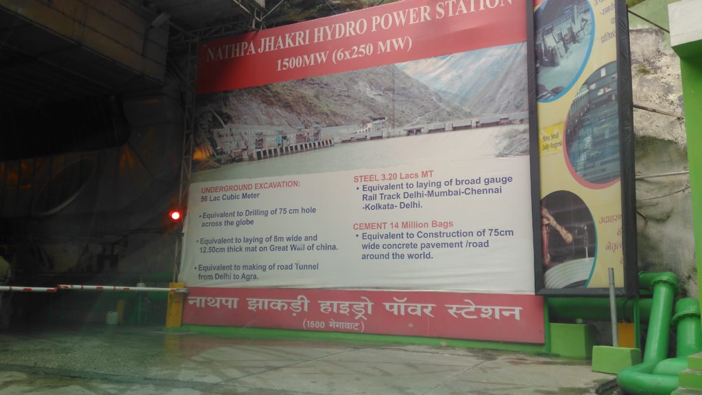
Rampur Bushahr is famous for the annual mela that is held here. Bushahr was exploited by the British when they ruled India due to its geographical advantages: Spiti in the North, Tibet in the East, Garhwal in the South and apple orchard towns to the West. It is just 10 Kms short of Jhakri, the site of Naptha – Jhakri hydroelectric project, the biggest in India.
On our return passage we visited the dam and the underground power station and we were impressed by its scale and efficiency. We were not permitted to take pictures of the power station but we could take pictures outside, especially from a view-point provided along the highway. Here are some of them:
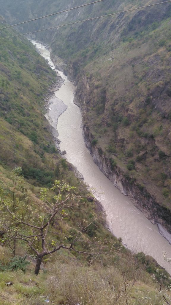
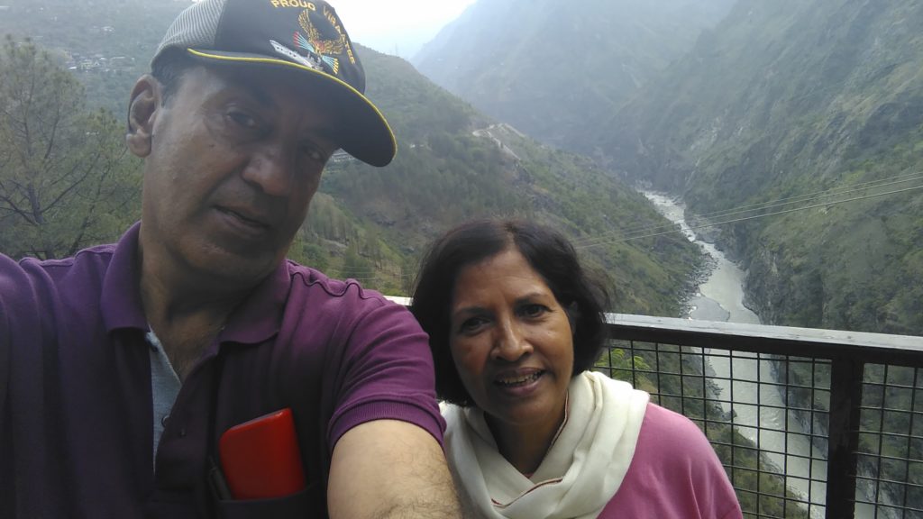
Of course, the water of the river that you see here is not the one used for running the turbines. For that the water is tapped many many kilometers up and supplied through tunnels. After running the turbines, the water is released back into the river.
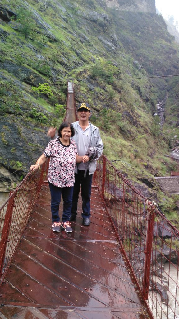
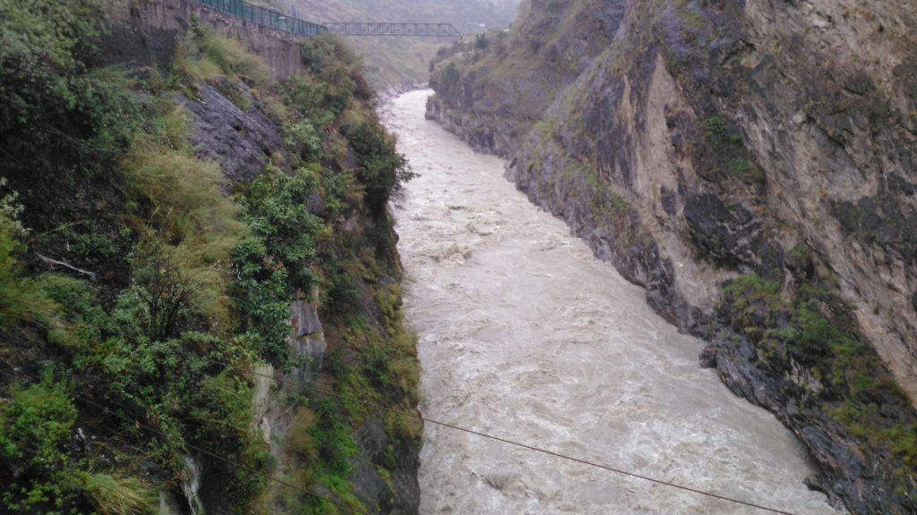
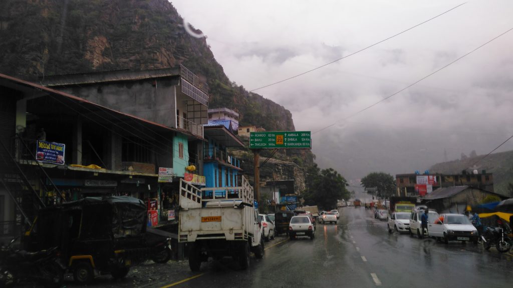
Before we finish the first part of the journey from Kandaghat to Kaza, lets take up some of the pictures of the town including a pic of the temple next to the town-hall:
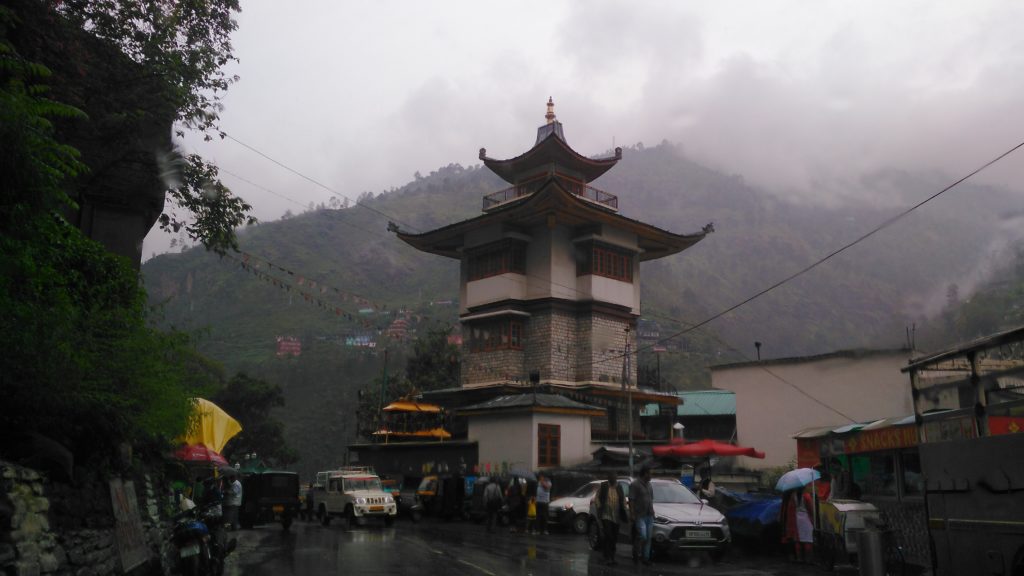
If you are with me so far, tomorrow, 21st June, we would undertake the most treacherous journey along the way, that to Karcham, Sangla valley and Chitkul. It is treacherous because of the roads and sheer fall to death in case you make a small mistake.
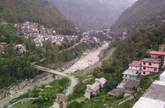
Whilst the road from Kandaghat to Rmapur and Jhakri is a broad two lane road, now onwards we shall go on roads that don’t look like roads at all and obliterate any distinction between roads and nallahs.
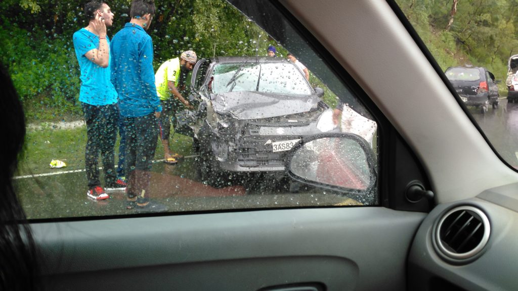
Word of caution, though; I saw maximum accidents along the road leading from Kandaghat to Rampur than beyond. That’s because good roads promote reckless driving. With that sobering thought, stay tuned for tomorrow’s journey:
There used to be Himachal Apple juice booths in bus stands around the state of Tamil Nadu but they are no longer there, no idea why. Good Morning Sir.
However, the juices as well as cider vinegar (cheaper than Italian and French ones but that cannot be the only reason to buy them) can still be got from super markets.
Starting from the horticulture department juices, soon a professional company called HPMC took over all juices and canned stuff. Soon these were all over the place. However, as it happens with most such companies, gradually the interest waned away and inefficiency and corruption came to fore.
Yes indeed. But nothing like going to the orchards to taste the wines and cider.
Excellent account! Makes one want to go there.
Thank you, Amit.